
Practice Results from August 2024 Queries
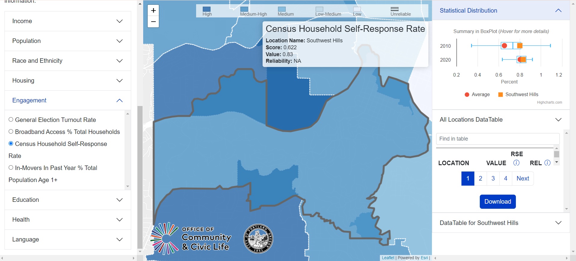
Compared to Sylvan-Highlands to the North and Bridlemile to the South, SW Hills Residential League has a 0.2 decrease in Census self-response rate.
New mapping tool brings major insight to unique challenges and strengths in Portland neighborhoods. https://www.prcprojects.us/civic?utm_medium=email&utm_source=govdelivery
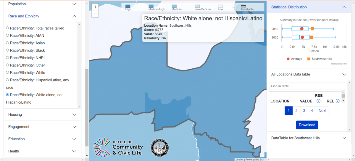
Portland, Ore. – The Office of Community & Civic Life (Civic Life) and PSU’s Population Research Center (PRC) have released an interactive mapping tool that lets users study Portland neighborhood-level data.
Most data, such as the U.S. Census, is aggregated by Census block, but these blocks do not match neighborhood boundaries. This new mapping tool provides data related to each Portland neighborhood, uncovering important information about our communities. The City and community partners can use these tools to better understand the issues facing Portlanders. How many children live in the neighborhood? How many people are experiencing food insecurity?
Users can even combine data groups using the CrossTab Index. Does a neighborhood with many children also have many people experiencing food insecurity?

Caption: An interactive map with a color gradient showing combined population data for Households With Children and Food Insecurity.
This new mapping tool will help government and community organizations improve outreach and services to be more inclusive and equitable when making decisions about communications, program priorities, funding, and more.
The data comes from the U.S. Census, the American Community Survey, and other reliable sources and shows demographic information for Portland’s 94 neighborhoods. This mapping tool also provides data comparisons to show how our city and our neighborhoods have changed since 2010.
The companion piece to the mapping tool is the Neighborhood Data Profiles that show the breakdown of many data types for each of Portland’s 94 neighborhoods and the four new Voting Districts. The finalized versions of these profiles are now available.
Office of Community & Civic Life
shelby.williams@PortlandOregon.gov | 503-823-6217
July 30, 2024